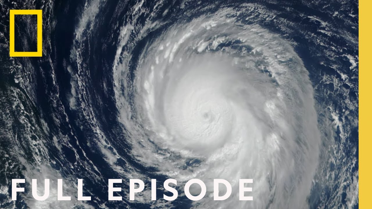
Deadly Pacific (Full Episode) | Drain the Oceans
TLDRThe documentary 'Drain the Oceans' unveils the hidden tectonic threats beneath the Pacific Ocean. It explores the possibility of a mega-earthquake off Seattle, the discovery of an underwater volcano near Tokyo, and the dangers posed by the Hikurangi subduction zone near New Zealand. Using advanced scanning technology, the film reveals the geological secrets of the seafloor, including the potential for devastating earthquakes and tsunamis, while highlighting the vulnerability of major coastal cities and the scientific efforts to understand and predict these catastrophic events.
Takeaways
- 🔥 The Pacific Ring of Fire is a massive seismic zone that causes 90% of the world's earthquakes, posing significant threats to the surrounding coastal populations.
- 🐳 Advanced underwater scanning technology allows scientists to drain the oceans virtually, revealing hidden seismic dangers like the Cascadia subduction zone near Seattle, Portland, and Vancouver.
- 🚨 Historical and geological evidence shows that the Cascadia subduction zone has produced mega-quakes and tsunamis in the past, with the potential for future catastrophic events.
- 🐝 The discovery of an undersea volcano near Tokyo raises concerns about possible eruptions and tsunamis affecting the densely populated city.
- 🐚 Geologists use sediment core samples from the ocean floor to study past earthquakes and predict future seismic activity in regions like Cascadia and New Zealand.
- 🌊 The 2016 Kaikoura earthquake in New Zealand demonstrated the destructive power of seismic events, causing landslides and changing the landscape dramatically.
- 🔮 New Zealand's Hikurangi subduction zone is monitored closely due to its potential to produce significant seismic events, affecting the Southern Hemisphere.
- 🐊 Oral histories from native peoples in Cascadia corroborate geological findings of past earthquakes and tsunamis, emphasizing the importance of traditional knowledge in understanding seismic risks.
- 🔫 Scientists predict that a major earthquake in the Cascadia subduction zone could occur within a 400-year cycle, with the last one in 1700, indicating an imminent threat.
- 🚧 The drainage of the Pacific Ocean in scientific models exposes the scale and potential impact of seismic zones, emphasizing the need for vigilance and preparedness in coastal regions.
Q & A
What is the 'tectonic monster' referred to in the transcript?
-The 'tectonic monster' refers to the massive seismic zone known as the Ring of Fire, which is the largest and most dangerous seismic zone on the planet, encircling the Pacific Ocean and responsible for 90 percent of all earthquakes.
What technology is used to reveal the secrets of the seafloor?
-The latest underwater scanning technology is used to pierce the deep oceans and turn accurate data into 3D images, revealing the secrets of the seafloor.
How does the Ring of Fire pose a threat to the cities along the Pacific coast?
-The Ring of Fire poses a threat due to its high seismic and volcanic activity. It can generate devastating earthquakes and tsunamis that can lead to massive destruction in coastal cities, as seen in the 2011 Tohoku earthquake and tsunami in Japan.
What is the significance of the underwater volcano discovered 44 miles from Tokyo?
-The underwater volcano discovered 44 miles from Tokyo, named Oomurodashi, is significant because it poses a potential threat to the safety of mariners in the busy shipping lanes above it and could potentially send tsunami waves towards Tokyo in the event of a major eruption.
What is the Cascadia subduction zone and why is it considered menacing?
-The Cascadia subduction zone is a region in North America known for its seismic potential. It is considered menacing because it is capable of generating magnitude 9.0 and higher earthquakes and tsunamis, which could have catastrophic effects on the 10 million inhabitants living in the Cascadia region, including the cities of Portland, Seattle, and Vancouver.
What historical evidence suggests that the Cascadia subduction zone has been active in the past?
-Historical evidence comes from the analysis of tree rings and sediment cores. The trees that were healthy in 1699 showed no growth in the following year, indicating a sudden event, and sediment cores from the seafloor off Cascadia revealed a disturbed layer dating back 300 years, suggesting a large earthquake and tsunami around that time.
What is the significance of the 1700 Cascadia earthquake and tsunami?
-The 1700 Cascadia earthquake was significant because it was a mega-quake with a magnitude estimated at level 8 or higher. It generated a tsunami that hit Japan, 4,500 miles away, and caused significant destruction. This event demonstrated the vast reach and power of earthquakes and tsunamis from the Cascadia subduction zone.
How does the Hikurangi subduction zone off the coast of New Zealand pose a risk?
-The Hikurangi subduction zone poses a risk because it is a seismic trouble spot where stress has been building for hundreds of years. A major earthquake in this zone could generate a tsunami that would reach New Zealand's capital city, Wellington, in just seven minutes, potentially impacting half a million residents and causing widespread devastation.
What is the Ruatoria avalanche and how did it shape the earth's history?
-The Ruatoria avalanche is one of the largest seismic events in the earth's history, occurring 170,000 years ago. It was triggered by an underwater landslide, equivalent to three-quarters the size of the Grand Canyon, and is considered the second biggest submarine landslide in the world. This event reshaped a hemisphere and is a stark reminder of the immense power of tectonic forces.
What is the potential impact of an active volcano like Oomurodashi on Tokyo?
-An active volcano like Oomurodashi could have a catastrophic impact on Tokyo. If it were to erupt, it could send tsunami waves towards the city, which is located just 44 miles away. Additionally, if the volcano were to break the surface and erupt above water, it could spew toxic ash into the sky, affecting the safety of millions of people in the Tokyo metropolitan area.
How does the 'Drain the Oceans' concept help in understanding seismic threats?
-The 'Drain the Oceans' concept is a metaphorical tool used to describe advanced underwater scanning technologies that 'drain' the ocean by creating detailed maps of the seafloor. This allows scientists to visualize and understand the geological features and risks, such as tectonic plates, subduction zones, and underwater volcanoes, that contribute to seismic threats like earthquakes and tsunamis.
Outlines
🌊 Tsunami Machine Unveiled
The Pacific Ocean's hidden dangers are revealed using advanced underwater scanning technology. Scientists explore the possibility of a mega-earthquake off Seattle and the discovery of an underwater volcano near Tokyo raises concerns. The narrative delves into the Ring of Fire's seismic activity, the 2011 Tohoku earthquake and tsunami, and the potential threats posed by geological features along the Pacific coast.
🌋 Cascadia's Ticking Time Bomb
The peaceful region of Cascadia in North America is home to 10 million people unaware of the seismic time bomb beneath them. The 1980 Mount St. Helens eruption was a wake-up call, leading scientists to investigate the potential for a devastating earthquake and tsunami in the area. Undersea scans reveal a fractured seafloor, indicative of a subduction zone capable of producing magnitude 9.0+ earthquakes and tsunamis.
🌳 Unraveling Cascadia's Secrets
Scientists search for clues about Cascadia's geological past and find evidence of past earthquakes in the layers of peat and sand along the coast. The discovery of a 'ghost forest' of petrified trees dating back to 1699 suggests a massive earthquake and tsunami occurred around that time. Researcher Chris Goldfinger finds evidence of a large earthquake and landslide in core samples from the seafloor, dating back 300 years.
🌊 The 1700 Cascadia Mega-Quake
Evidence from core samples, combined with historical records from Japan, points to a massive earthquake in Cascadia in 1700. The quake generated a tsunami that struck Japan, and the native peoples of Cascadia have oral histories of a great battle between Thunderbird and Whale, symbolizing the shaking and flooding. The 1700 earthquake and tsunami serve as a stark reminder of the potential disaster that could occur again in the region.
🕰️ Cascadia's Imminent Mega-Quake
The average interval between earthquakes in the Cascadia subduction zone is around 400 years, suggesting the next mega-quake could be imminent. Scientists describe the long duration and rolling motion of such an earthquake, predicting significant damage to infrastructure and the likelihood of a subsequent tsunami. The potential impact of a mega-quake in Cascadia is compared to the devastation seen in Japan, with predictions of a similar scale of disaster.
🌐 New Zealand's Hidden Giant
New Zealand, located on the Ring of Fire, experiences frequent small earthquakes but hides a geological giant near the town of Kaikoura. Geologists use advanced sonar technology to investigate the Kaikoura Canyon, a vast undersea chasm. The 2016 earthquake provides a unique opportunity to study the effects of seismic activity on the canyon and the potential for landslides and tsunamis.
🌊 Kaikoura Canyon's Undersea Upheaval
The 2016 earthquake in New Zealand offers scientists a rare chance to study the immediate effects on the Kaikoura Canyon. They find evidence of a massive underwater landslide triggered by the quake, which traveled 435 miles across the seafloor. The event, known as a canyon-flushing landslide, has the potential to generate a devastating tsunami for coastal areas like Kaikoura. The discovery raises concerns about the future threat posed by the Hikurangi subduction zone, located dangerously close to New Zealand's capital, Wellington.
🌋 Tokyo's Tectonic Neighbor
Just 44 miles south of Tokyo, an underwater volcano named Oomurodashi is discovered, posing a significant risk to the city and its 38 million residents. The volcano, although currently dormant, has the potential to erupt and cause tsunamis, disrupt shipping, and release toxic ash. The discovery of additional volcanic cones in the area increases the potential threat. Scientists continue to monitor the volcano closely for any signs of increased activity.
🌍 Ring of Fire's Hidden Perils
The exploration of the Ring of Fire continues to uncover geological wonders and threats. The Pacific Ocean's hidden dangers are exposed, demonstrating the immense power of plate tectonics to create and destroy. The discoveries of undersea volcanoes, canyon-flushing landslides, and the potential for mega-quakes and tsunamis serve as a stark reminder of the geological forces at play and the need for ongoing monitoring and preparedness.
Mindmap
Keywords
💡Tsunami
💡Seismic Zone
💡Subduction Zone
💡Tectonic Plates
💡Volcano
💡Earthquake
💡Underwater Scanning Technology
💡Ring of Fire
💡Landslide
💡Geohazard
💡Plate Tectonics
Highlights
Deep beneath the Pacific Ocean lies a tectonic monster, a mega-earthquake machine.
Using the latest underwater scanning technology, we can now reveal the secrets of the seafloor.
A possible mega-earthquake is brewing off the coast of Seattle, potentially triggered by an underwater volcano.
The discovery of an underwater volcano just 44 miles from Tokyo has seismic experts worried.
Scientists have learned about the dangers facing New Zealand from undersea earthquakes.
The Pacific Ocean is the planet's largest and deepest, with 500 million people living around its coast.
The Ring of Fire, the planet's largest and most dangerous seismic zone, is responsible for 90% of all earthquakes.
The 2011 Tohoku earthquake in Japan caused massive destruction and generated deadly tsunamis.
The Cascadia region of North America, home to 10 million people, is sitting on a seismic time bomb.
Mount St. Helens' eruption in 1980 was the worst volcano disaster in U.S. history.
Cascadia's subduction zone has been inactive for centuries, but evidence suggests it could be a threat.
The 1700 Cascadia earthquake generated a tsunami that hit Japan, 4,500 miles away.
The Hikurangi subduction zone near New Zealand's east coast poses a significant tsunami threat.
The Ruatoria avalanche, triggered by a Hikurangi subduction zone quake, was one of the largest seismic events in history.
An active undersea volcano, Oomurodashi, lies just 44 miles south of Tokyo, posing a threat to both shipping and the city.
The Oomurodashi volcano has multiple cones, increasing the potential for eruption and tsunami generation.
Draining the Ring of Fire reveals hidden geological wonders and terrors, showcasing the immense power of plate tectonics.
Transcripts
Browse More Related Video
Gulf of Mexico (Full Episode) | Drain the Oceans

The San Andreas Fault: Disaster About to Strike | How the Earth Was Made | Full Episode | History
Volcanic Fury! EARTH'S DANGEROUS RING OF FIRE *3 Hour Marathon* | How the Earth Was Made
The VIOLENT & EXTREME Birth of Planet Earth *2 Hour Marathon* | How the Earth Was Made

Earthquakes and Tsunamis for Kids | A fun engaging introduction to Earthquakes and Tsunamis for Kids

Lost Worlds of the Mediterranean (Full Episode) | Drain the Oceans
5.0 / 5 (0 votes)
Thanks for rating: